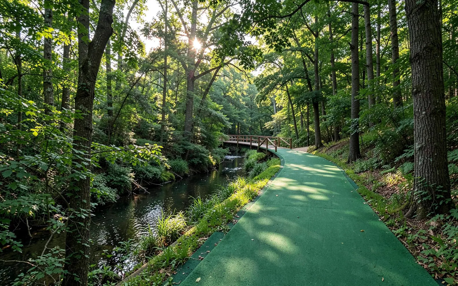
Major Charlotte and Mecklenburg County greenways
The principal named corridors. Open mileage changes as segments are completed — confirm with Mecklenburg County Park and Recreation.
| Greenway | Where it runs | Nearest to |
|---|---|---|
| Little Sugar Creek | Cordelia Park through Midtown, Freedom Park, and south toward the state line | Eastover, Dilworth, Myers Park |
| Briar Creek | East Charlotte creek corridor toward Shamrock and Sheffield Park | Cotswold, Plaza Midwood |
| Edwards Branch | Connects Briar Creek toward the Cotswold and Sardis area | Cotswold |
| Irwin Creek | West Charlotte, from the Uptown edge toward Freedom Drive | Wesley Heights, Seversville |
| Stewart Creek | West Charlotte, linking Five Points toward Ashley Park | Biddleville |
| McAlpine Creek | Southeast Charlotte through McAlpine Creek Park toward Matthews | Matthews, Sardis |
| Four Mile Creek | South Charlotte between Rea Road and Johnston Road | Ballantyne, Piper Glen |
| McMullen Creek | South Charlotte near Carmel and Pineville-Matthews Road | Carmel, Quail Hollow |
| Campbell Creek | East Charlotte, linking to McAlpine near Idlewild | Idlewild, Mint Hill edge |
| Toby Creek | University City, through the UNC Charlotte area | University City |
| Mallard Creek | North Charlotte, near the research park | University Research Park |
| Clark's Creek | North Mecklenburg, Highland Creek area | Highland Creek |
| Torrence Creek | Huntersville, connecting neighborhood segments | Huntersville |
| Paw Creek | West Mecklenburg creek corridor | Paw Creek, Mountain Island |
| Sugaw Creek | North Charlotte, near Sugaw Creek Park | Derita, Hidden Valley |
| Six Mile Creek | Far south Mecklenburg near Marvin Road | Ballantyne South |
Trail status, hours, parking, and closures are published by Mecklenburg County Park and Recreation.
The greenway that matters from Eastover
From any address in Eastover, the Little Sugar Creek Greenway is the one you will actually use. Access sits just west of Providence Road, a five-minute walk or a two-minute drive from most of the neighborhood, and from there the trail runs north into Midtown and south into Freedom Park without crossing significant traffic.
For the local view — which entrances residents use, how the trail ties into Freedom Park, and what the neighborhood's own tree canopy adds — see parks and greenways near Eastover.
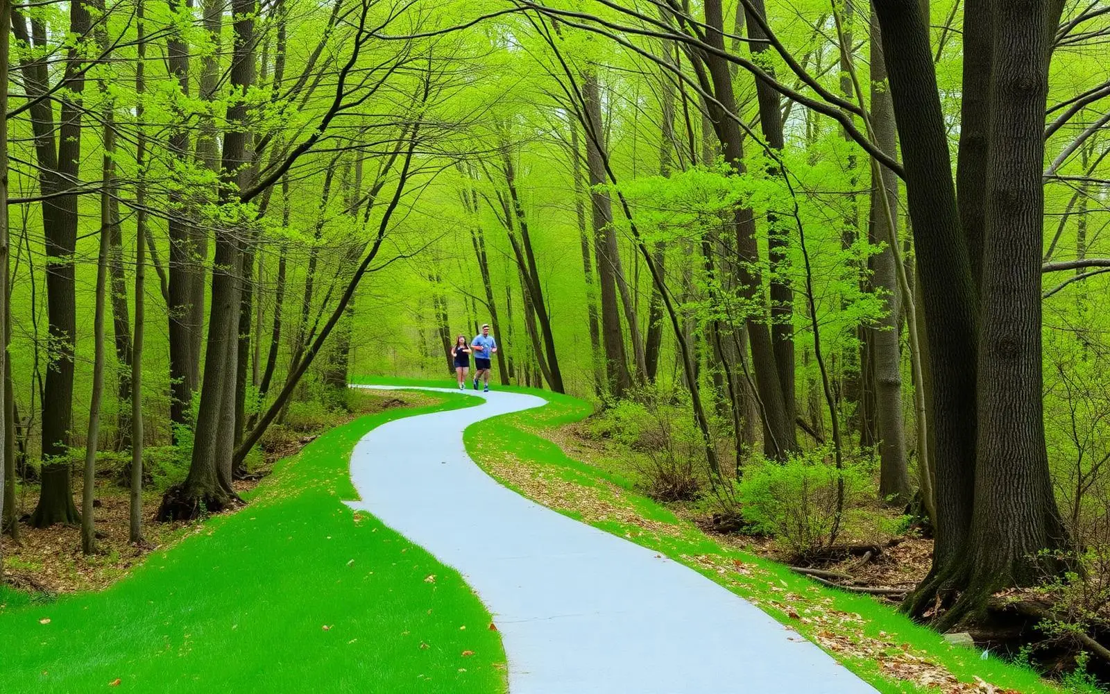
How the network is being stitched together
Two county-scale programs are turning isolated creek trails into a connected system. The Cross Charlotte Trail is the north-south spine, largely following Little Sugar Creek and Toby Creek from Pineville to UNC Charlotte. The Carolina Thread Trail is the regional layer, linking Mecklenburg's trails to adjoining counties.
The practical consequence for anyone comparing central neighborhoods: proximity to a greenway access point is becoming a durable feature of a property, the way proximity to a park was a century ago when these neighborhoods were platted.