Orientation
Eastover, mapped.
Museums, schools, parks, greenways, shopping, clubs, and the airport — with approximate drive times from the heart of the neighborhood.
Districts
Eastover
Center from Eastover
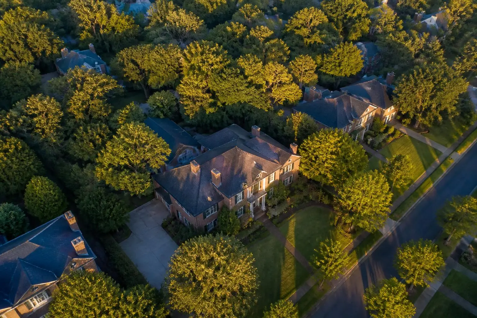
Charlotte's historic estate neighborhood, platted in 1927 between Providence Road, Randolph Road, and Wendover Road.
Browse 19 places
Inside the neighborhood
Eastover Elementary and Mint Museum Randolph sit within the neighborhood itself and are walkable from much of it. There is no commercial frontage inside Eastover by design — the shopping and dining live on the arterial edges.
Five to ten minutes
Cotswold Village for groceries and hardware, Freedom Park and the Little Sugar Creek Greenway for the outdoors, and the Elizabeth and Midtown restaurant strips for dinner without a highway.
Ten to twenty-five minutes
Uptown Charlotte and its business district, SouthPark for luxury retail, the independent day schools along the Providence corridor, and Charlotte Douglas International Airport to the west.
Drive times are approximate and vary with traffic and time of day. Locations on the schematic map are indicative rather than surveyed; confirm parcel lines, neighborhood boundaries, and school assignment through Mecklenburg County POLARIS and the Charlotte-Mecklenburg Schools assignment locator.
Sources & Verification
Where this page's facts come from.
We cite primary records wherever a claim can be verified. Figures change; confirm current details with the responsible authority before relying on them.
- Mecklenburg County POLARIS 3G Property Records
Mecklenburg County, NC
Parcel boundaries, lot sizes, ownership, assessed values, zoning overlays
- Mint Museum Randolph
The Mint Museum
Museum history, collections, hours, and the 1936 Randolph Road building
- Mecklenburg County Park & Recreation
Mecklenburg County
Parks, greenways, trail mileage, facilities and programming
- Charlotte Area Transit System
City of Charlotte
Bus and rail routes, Silver Line planning, transit access
- Charlotte Douglas International Airport
City of Charlotte Aviation Department
Flight operations, nonstop destinations, terminal and drive-time information
Related Guides
Use the map alongside these guides
The Streets of Eastover
Block-by-block character and what moves value between them.
ReadParks & Greenways
Freedom Park, Little Sugar Creek, and the trail network.
ReadRestaurants Near Eastover
The dining rings that surround the neighborhood.
ReadSchools & Assignment
Public assignment and the independent day schools.
ReadAnswers
Frequently asked questions
Answers to what people ask most, each with the source that supports it.