Before the plat
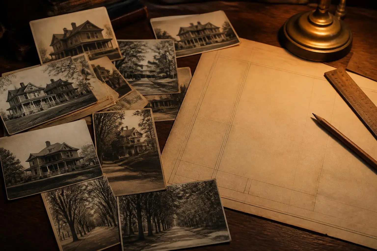
Through the nineteenth century the land east of Providence Road was farmland and woodlot on the outskirts of a cotton-trading county seat. Charlotte's growth in the 1910s and 1920s — banking, textiles, the railroad — created a professional class that wanted to live outside the smoke of the center city but within a short drive of it.
Myers Park, laid out by landscape architect John Nolen beginning in 1911, proved the model: curvilinear streets, planted medians, deep lots, and a streetcar line to town. Eastover followed as the next chapter of the same idea, on the other side of Providence Road.
1927: the Griffith plan
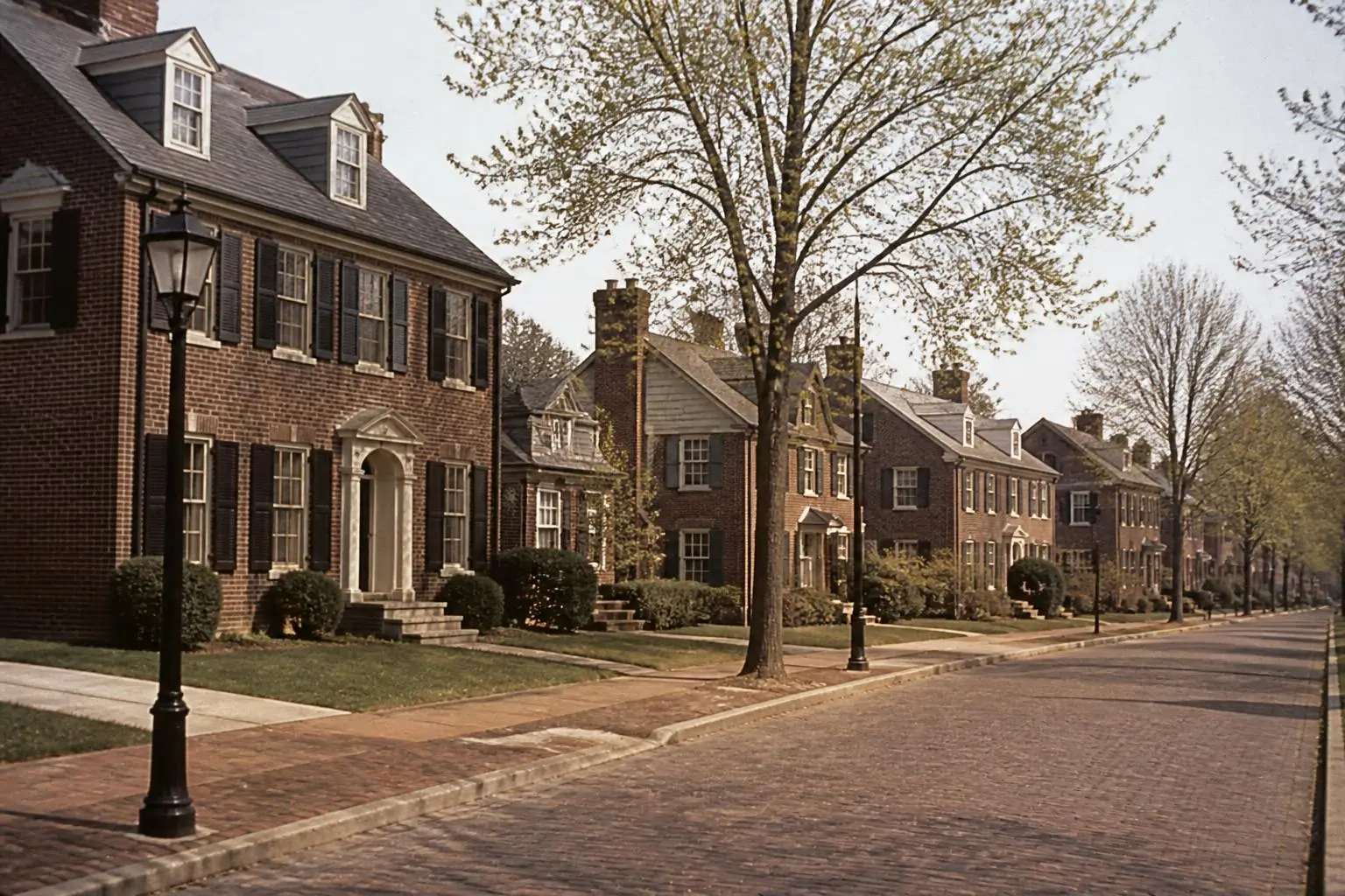
Developer E.C. Griffith platted Eastover in 1927. The plan avoided a grid, following ridges and existing tree lines so that streets curved and view corridors closed on planting rather than pavement. Lots were large by the standards of the day, setbacks were deep, and no commercial frontage was permitted inside the neighborhood — a restriction that still shapes daily life.
Deed covenants pushed toward masonry construction and architect-designed houses. The effect was cumulative rather than uniform: builders and owners competed on quality within a shared vocabulary of brick, slate, and classical proportion.
Depression, war, and a slow build-out
The 1929 crash slowed but did not stop construction. Houses went up through the 1930s for buyers whose wealth survived, and the arrival of the Mint Museum on Randolph Road in 1936 gave the young neighborhood an institutional anchor that few residential subdivisions ever acquire.
The postwar decades filled in the remaining lots. By the early 1960s Eastover was essentially complete, with a housing stock spanning thirty-five years and four or five closely related revival styles.
A timeline
- 1911
- Myers Park begins under John Nolen's plan, establishing the model for Charlotte's planned residential suburbs.
- 1927
- E.C. Griffith plats Eastover east of Providence Road; first houses follow immediately.
- 1936
- The 1836 U.S. Branch Mint, dismantled and rebuilt on Randolph Road, opens as the Mint Museum of Art.
- 1940s–1950s
- Postwar construction fills the majority of remaining lots in Colonial Revival and Tudor Revival idioms.
- 1960s
- Build-out essentially complete; the neighborhood shifts into a long period of stability and stewardship.
- 1990s–2010s
- A renovation era: kitchens, systems, and rear additions modernize the housing stock while facades are largely preserved.
- 2010s–today
- Selective teardown-and-rebuild activity raises the top of the market, with the best examples matching original scale, materials, and setback.

Why it survived intact
Three things protected Eastover. Its street plan discouraged through traffic, so no arterial was ever run through it. Its lots were large enough that subdividing would have destroyed value rather than created it. And its owners were, generation after generation, people with the means and the inclination to maintain rather than replace.
The result is a neighborhood that reads today much as it did in 1955 — with better wiring, better kitchens, and roughly the same trees, now a hundred years older and considerably larger.