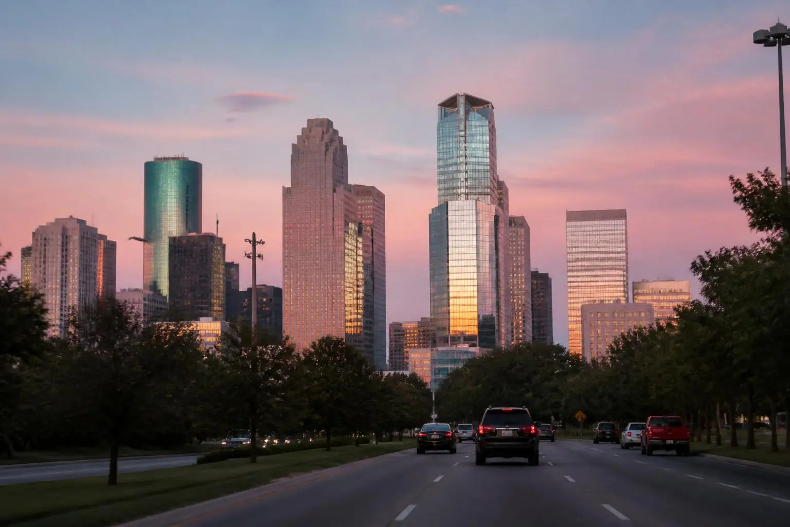
The Charlotte skyline as seen from a road leading into Uptown

Living Here

Commute

Realistic drive times from Eastover to the places Charlotte works, shops, and flies from.

Written by Discover Eastover Editorial DeskReviewed by Nick PetersPublished January 12, 2026 · Updated August 2, 2026
Eastover's biggest practical advantage is proximity: it sits close enough to Uptown, SouthPark, and several employment centers that most trips stay under a half hour, even if none of those trips are ever quite as fast as a map's straight-line distance suggests.

Why the location works

Eastover sits roughly three miles southeast of Uptown Charlotte, wedged between Providence Road and Randolph Road. That position puts most of the city's major employment and retail nodes within a short-to-moderate drive, which is one reason the neighborhood has held premium value for decades.

None of the drive times below should be read as guarantees. Charlotte's road network is not built for peak-hour volume everywhere, and specific intersections — particularly where Providence, Randolph, and Wendover meet school and shopping traffic — can add meaningful time during weekday rush windows. Always check a live map service before a time-sensitive trip.

Approximate drive times from Eastover

Rough, off-peak estimates for orientation only. Actual times vary by route, time of day, and exact origin address within the neighborhood.

DestinationApprox. distanceTypical off-peak drive
Uptown Charlotte~3 miles10–15 minutes
SouthPark~4–5 miles10–15 minutes
University City / UNC Charlotte~13–15 miles25–35 minutes
Ballantyne~15–17 miles25–35 minutes
Charlotte Douglas International Airport (CLT)~12–14 miles25–40 minutes

Estimates are editorial approximations for planning purposes; verify with a live map service and consult CATS and CLT Airport for transit and airport access specifics.

The corridors that matter

Three roads define how Eastover connects to the rest of Charlotte.

Providence Road
The neighborhood's western spine, running toward Uptown one direction and SouthPark and the Ballantyne corridor the other. Generally the most direct route toward Uptown.
Randolph Road
Runs east toward Cotswold and beyond, and is the everyday errand route for grocery and retail trips. Can back up near the Wendover Road intersection.
Wendover Road
Connects Randolph Road toward Independence Boulevard and the eastern side of the city, useful for reaching Midtown and points east without cutting through Uptown.

Transit, greenway, and bike options

Eastover is not directly served by the LYNX Blue Line, Charlotte's light rail line, but residents can reach a Blue Line station in Uptown or Midtown by car or rideshare and continue toward South End, further Uptown stops, or the university area without driving the whole way. Check the Charlotte Area Transit System for current bus routes near the neighborhood as well, since coverage and schedules change.

For non-driving trips within the area, portions of the Little Sugar Creek Greenway reach toward Freedom Park and beyond, and several Eastover streets are quiet enough for comfortable neighborhood cycling, though a rider heading further out will meet the same arterial-road realities as a driver. Mecklenburg County Park & Recreation maintains current greenway maps and trail status.

Answers

Frequently asked questions

How far is Eastover from Uptown Charlotte?+
Eastover is roughly three miles from Uptown, which typically translates to a drive of about ten to fifteen minutes outside of peak congestion via Providence Road or Randolph Road. Rush-hour timing can run longer; check a live map service before relying on any single figure.
Source: Mint Museum Randolph
Can Eastover residents use the LYNX Blue Line?+
Eastover is not directly on the LYNX Blue Line, but residents can drive or rideshare to a Blue Line station in Uptown or Midtown to reach South End, further Uptown stops, or the UNC Charlotte area. Check the Charlotte Area Transit System site for current station locations and schedules.
Source: U.S. Census Bureau — American Community Survey
How long is the drive from Eastover to SouthPark?+
SouthPark is generally a short drive from Eastover, often cited in the neighborhood as roughly ten to fifteen minutes via Providence Road or Sharon Road, though this varies with traffic and the exact origin and destination points.
Source: Mecklenburg County Park & Recreation
Is Eastover convenient to Charlotte Douglas International Airport?+
CLT Airport is on the opposite side of Uptown from Eastover, so the drive commonly takes twenty-five to forty minutes depending on the route and time of day. Build in extra time during peak travel periods and check the Charlotte Douglas International Airport site for current terminal access information.
Source: Charlotte Douglas International Airport
What are the main traffic corridors near Eastover?+
Providence Road, Randolph Road, and Wendover Road are the primary corridors bordering or running through the area, and all three can see meaningfully slower travel during weekday morning and evening rush periods, especially near school arrival and dismissal times.
Source: Mint Museum Randolph
Are there bike or greenway routes from Eastover?+
Portions of the Little Sugar Creek Greenway are accessible from the Eastover area and connect toward Freedom Park and beyond, offering a car-free option for recreation and some errands. Confirm current trail segments and connectivity with Mecklenburg County Park & Recreation before planning a commute around them.
Source: Mecklenburg County Park & Recreation

Sources & Verification

Where this page's facts come from.

We cite primary records wherever a claim can be verified. Figures change; confirm current details with the responsible authority before relying on them.