About Elizabeth
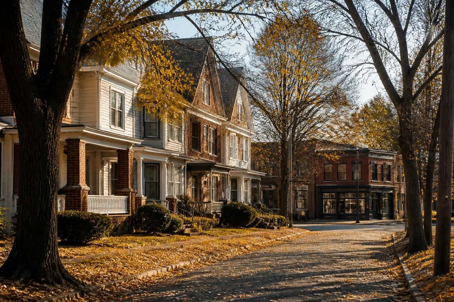
Elizabeth sits northwest of Eastover across Little Sugar Creek, between Uptown and the hospital campuses. Developed in the early twentieth century, it is Charlotte's second-oldest streetcar suburb and one of its most genuinely walkable residential districts.
Its housing is bungalows, foursquares, and small Colonial Revival houses on compact lots, with a commercial spine along Seventh Street and Elizabeth Avenue. The CityLYNX Gold Line streetcar runs through it, and Independence Park anchors its southern edge. For street-level detail on the district we do not cover here, see this Elizabeth neighborhood guide.
What you will find
The housing and land patterns that define the area.
- Craftsman bungalows
- Deep porches, exposed rafter tails, and original millwork on small, close-set lots.
- American foursquares
- Two-story boxes with hipped roofs, often converted or expanded to the rear.
- Small Colonial Revivals
- Modest brick houses from the 1920s and 1930s along the quieter streets.
- Condominiums and townhomes
- Newer infill near the hospital campuses and the streetcar line.
Compared with Eastover
An editorial comparison for orientation only — verify every figure yourself.
| Elizabeth | Eastover | |
|---|---|---|
| Era | Early 1900s | 1927 onward |
| Walkability | High — restaurants and shops on foot | Low — driving neighborhood |
| Housing scale | Bungalows and foursquares | Estate-scale brick |
| Transit | CityLYNX Gold Line streetcar | Bus service on Providence Road |
| Green space | Independence Park, Little Sugar Creek Greenway | Little Sugar Creek Greenway access |
Comparisons are editorial. Confirm pricing with Canopy MLS, assignment with Charlotte-Mecklenburg Schools, and parcel facts with Mecklenburg County POLARIS.