About Myers Park
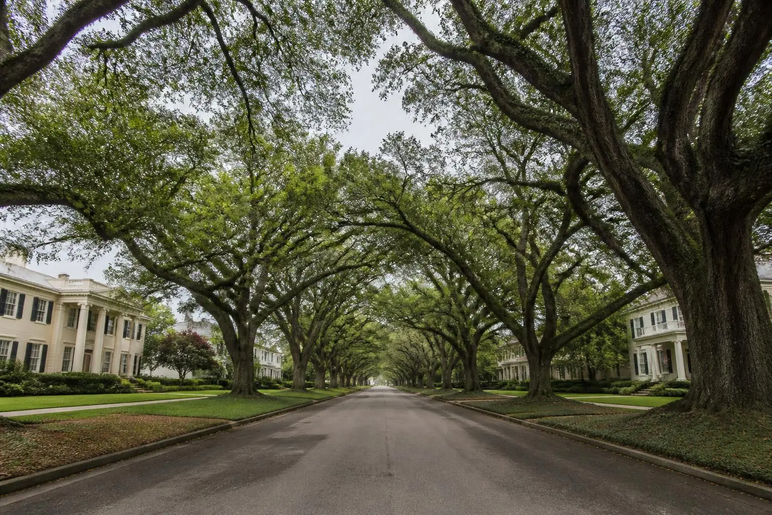
Myers Park was laid out in 1911 to a plan by John Nolen, the Harvard-trained landscape architect whose curving streets followed topography rather than a grid. Its planted medians and imported oak canopy set the template that E.C. Griffith borrowed sixteen years later when he platted Eastover across Providence Road.
Because it developed over five decades rather than three, Myers Park spans an unusually wide range: bungalows near Dilworth, grand Queens Road estates, mid-century infill, and recent teardown rebuilds. That range is the single most important practical difference between the two neighborhoods, and buyers weighing the two closely will find a dedicated Myers Park neighborhood guide helpful for street-level detail we do not attempt to duplicate here.
What you will find
The housing and land patterns that define the area.
- Queens Road corridor
- The signature address: estate-scale houses on deep lots under a continuous canopy, overlapping Eastover's top of market.
- Interior blocks
- Colonial Revival, Tudor Revival, and Georgian houses of more moderate scale, many renovated and expanded to the rear.
- Edges near Dilworth and Freedom Park
- Smaller early houses and bungalows that create the neighborhood's entry price band.
- Newer infill
- Teardown rebuilds by Charlotte's custom builders, subject to design review pressure from neighbors rather than a formal HOA.
Compared with Eastover
An editorial comparison for orientation only — verify every figure yourself.
| Myers Park | Eastover | |
|---|---|---|
| Platted | 1911 (John Nolen plan) | 1927 (E.C. Griffith) |
| Scale | Very large, several hundred acres | Compact, roughly 400 homes in the historic core |
| Housing range | Bungalows to estates | Predominantly estate-scale brick |
| Entry price | Wider, lower floor | Higher floor |
| High school | Myers Park High | Myers Park High |
Comparisons are editorial. Confirm pricing with Canopy MLS, assignment with Charlotte-Mecklenburg Schools, and parcel facts with Mecklenburg County POLARIS.